03_Da Bognanco San Lorenzo a Domodossola - Sacro Monte Calvario
| Nome | Descrizione |
|---|---|
| File GPX | Scarica Tracciato |
| Punto di partenza | Bognanco San Lorenzo |
| Punto di arrivo | Sacro Monte Calvario Domodossola |
| Lunghezza | km 14,200 |
| Tempo di Percorrenza | 5 h |
| Grado di Difficolta | Escursionistico |
| Dislivello | a 480 - d 1150 |
| Periodo Consigliato | Tutto l'anno |
| Informazioni | Associazione Novarese Amici di Santiago |
| Telefono | +39 3493167316 |
| sanbernardo22@libero.it |
Descrizione
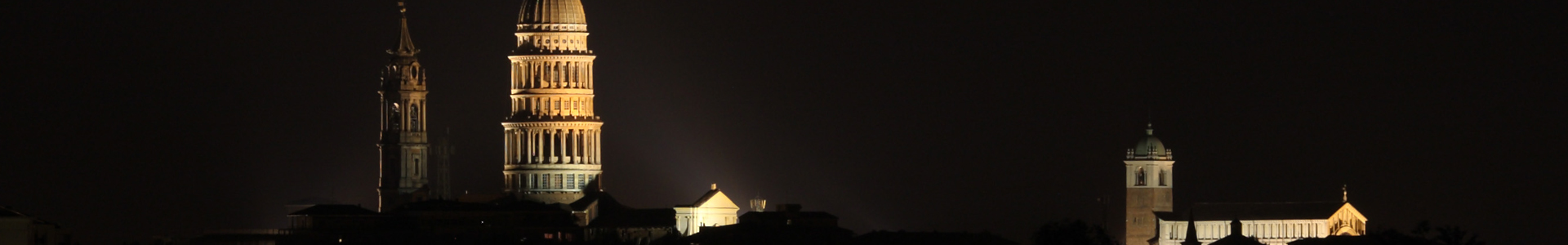
The stage passes through the terraces where rye was grown, the vine and little else, you get to Bognanco Sources spa town well known . THEN take the path to Ca' Monsignore, after passing the stone bridge over the gorge of Rio Rabianca. The trail continues first halfway up the coast and then descends steeply to the stream that crosses over a spectacular stone bridge and goes up to the Oratorio del Dagliano. Continuing first slightly uphill and then flat on a beautiful mule track you reach Monteossolano. Leave the Church dedicated to San Gottardo and continue on a stretch of asphalt to reach Pregliasca. From here you arrive at Cisore. On a mule track you reach Mocogna, and on the paved road Castanedo, located on the opposite side of the valley. From here you reach Vagna (Maggianigo). After Vagna you go up to Croppo and continuing on the forest path you reach Motto and the Marisch Chapel. Finally, on a beautiful mule track, descend to the square of Sacro Monte Calvario (Unesco World Heritage).ATTENZIONE!
Il caricamento della mappa sottostante (con tracciato GPX) potrebbe risultare lento: vi invitiamo ad attendere anche qualche minuto.
Il caricamento della mappa sottostante (con tracciato GPX) potrebbe risultare lento: vi invitiamo ad attendere anche qualche minuto.
LETTORI GPX (consigliati) necessari per la lettura del tracciato
Tracciato GPX - 03_Da Bognanco a Domodossola.gpx [. / 69 Kb]
Da Bognanco a Domodossola - Link a Komoot - https://tinyurl.com/2yymsh89